


 Expedition collection
Interactive
Explore the Delta
A three-dimensional map of the reserve: blocks, watchtowers, creeks and the routes between them.
Open the mapMenu
Expeditions
Plan Your Journey
Expedition collection
The delta as we chart it: islands, creeks, watchtowers and tides, and the records behind every journey.
Start with the map, then follow it into the entries behind each place.
A three-dimensional map of the reserve: blocks, watchtowers, creeks and the routes between them.
Open the map Data
Data
How tides are read here, and why every itinerary is written around them.
Read the guide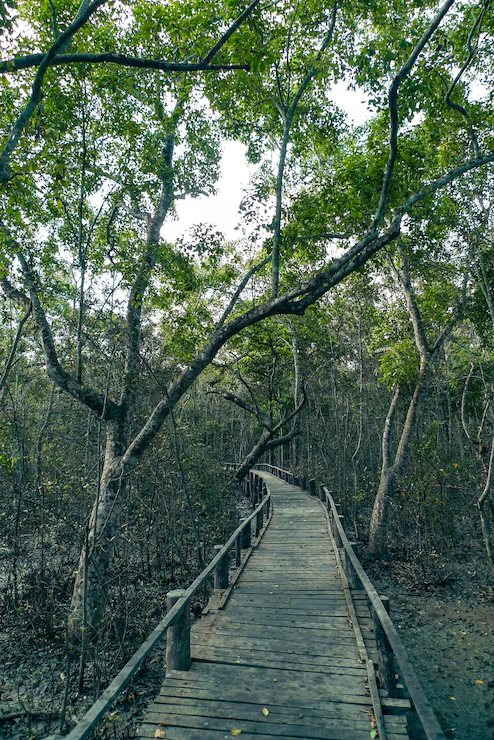 Encyclopedia
The watchtowers, one entry at a time, with what each one overlooks.
Read entryEvery journey adds to this. Nothing here is compiled from someone else's brochure.
The named islands, forest blocks and the boundaries that decide where a boat may go.
Channels, their tides and the ones that close at low water.
Sajnekhali, Dobanki, Netidhopani and the rest, with what each overlooks.
What lives here, where it is usually found and in which season.
Enquire about this expedition
Tell us the kind of journey you want and we will shape the route around it.